Oregon Cascades
From Wildsong
Rooster Rock
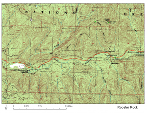
August 7, 2007 -- we hiked from Trout Creek Campground to the top of the summit of the hill next door to Rooster Rock. I don't know its name. Then we hiked back down to Fernview Campground and used the Santiam Wagon Road to walk back to our starting point. I am still processing the GPS data.
Rooster Rock used to have a fire lookout station on its top. It blew off the rocks in a wind storm. I have a few photos... as soon as I get them out of the camera I will upload them.

Click on image for full size or download PDF which is about 1.3 MB.
The green dots are waypoints that I downloaded into my Garmin eMap.